Table of Contents
Introduction
The Rise of Drones in Construction
Why Aerial Photography & Video Matter
Benefits of Drones in Construction
Project Monitoring & Documentation
Safety & Risk Management
Cost & Time Savings
High-Quality Marketing Content
Land Surveys & 3D Mapping
Getting Started with Construction Drone Photography
Choosing the Right Drone
Understanding Drone Regulations
Planning Your Flight Path
Capturing the Best Angles & Perspectives
Using Drone Video for Construction Projects
Time-Lapse Videos for Project Progress
Virtual Site Tours for Clients & Stakeholders
Inspections & Quality Control with Drone Footage
Marketing & Promotion with Aerial Videos
Best Practices for Construction Drone Photography & Video
Camera Settings & Optimization
Safety Guidelines & Compliance
Editing & Post-Production Tips
AI & Automation in Drone Analytics
Future Trends in Construction Drone Technology
AI-Driven Analytics & Automation
Advances in Drone Battery Life & Flight Time
Emerging Software & 3D Mapping Technologies
Conclusion
Key Takeaways
How to Get Started Today
Drone technology has revolutionized the construction industry, offering unparalleled perspectives and insights through aerial photography and video. Whether you're a contractor, real estate developer, or marketing professional, drones can enhance your projects by providing high-quality visuals, progress tracking, and site analysis. In this guide, we’ll explore the benefits of construction drone photography and video, how to get started, best practices for capturing stunning and useful aerial imagery, optimization tips, case studies, and future trends in drone technology.
Why Use Drones in Construction?
1. Enhanced Project Monitoring & Documentation
Drones provide real-time aerial views of construction sites, allowing project managers and stakeholders to monitor progress efficiently. This ensures better decision-making and keeps projects on schedule. The ability to capture site progress from a bird’s-eye view allows for better comparison between planned blueprints and actual execution.
Key Benefits:
Monitor project phases with visual documentation.
Compare actual progress with initial plans.
Reduce manual on-site inspections.
Improve transparency with clients and stakeholders.
2. Improved Safety & Risk Management
By using drones, companies can reduce the need for manual inspections in hazardous areas, minimizing risks for workers. Drone footage can identify potential safety hazards before they become serious issues.
Key Benefits:
Identify unstable structures before they become a risk.
Monitor workers for safety compliance.
Inspect high-rise buildings and scaffolding without putting workers in danger.
Reduce liability by having documented safety measures in place.
3. Cost & Time Savings
Traditional site inspections and surveys can be time-consuming and expensive. Drones streamline the process by quickly capturing data, reducing the need for multiple site visits, and improving efficiency.
Key Benefits:
Replace costly helicopter or crane photography.
Reduce labor-intensive surveys.
Improve speed and accuracy of inspections.
Cut down on expensive rework with better documentation.
4. High-Quality Marketing Content
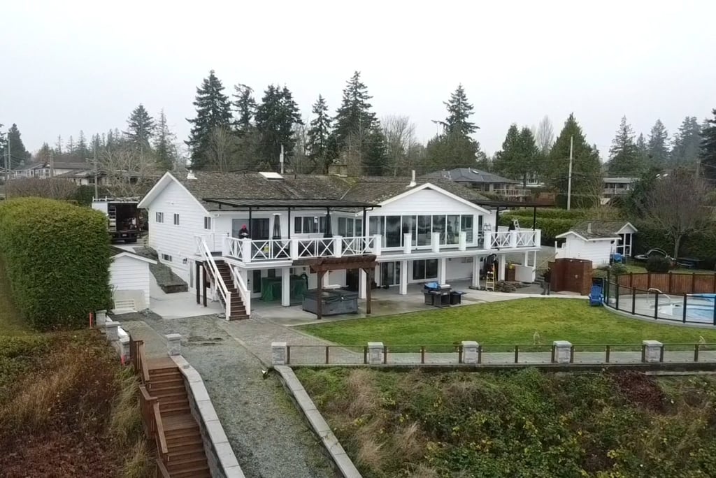
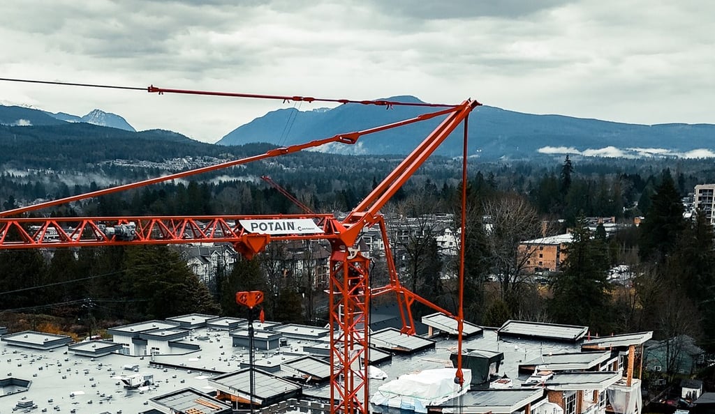
Aerial photography and videos showcase construction projects in a dynamic and visually appealing way. These visuals can be used for client presentations, social media marketing, and portfolio building.
Key Benefits:
Create professional-grade marketing content.
Stand out from competitors with unique aerial visuals.
Showcase large-scale projects effectively.
5. Accurate Land Surveys & 3D Mapping
Drones equipped with LiDAR or photogrammetry software can create precise topographic maps, helping in site planning, earthworks, and project estimation.
Key Benefits:
Generate 3D models for site planning.
Improve accuracy of land assessments.
Reduce surveying time significantly.
Getting Started with Construction Drone Photography
1. Choose the Right Drone
Not all drones are suited for construction photography. Here are some top choices:
DJI Phantom 4 RTK – Excellent for mapping and high-precision surveying with Real-Time Kinematic (RTK) technology.
DJI Mavic 3 Enterprise – Compact with high-quality imaging for site inspections.
DJI Matrice 300 RTK – Ideal for professional-grade aerial mapping, thermal imaging, and high-precision data collection.
Parrot Anafi USA – A good alternative with advanced zoom capabilities and thermal imaging.
2. Understand Drone Regulations
Before operating a drone on a construction site, ensure you comply with local aviation laws. In Canada and the U.S., commercial drone pilots must:
Obtain a drone pilot certification (such as the FAA Part 107 license in the U.S. or the Advanced RPAS Certificate in Canada).
Register their drone with the appropriate aviation authority.
Follow no-fly zone restrictions and airspace regulations.
Conduct pre-flight safety checks.
Obtain necessary flight permissions when operating in controlled airspace.
3. Plan Your Flight Path
Efficient planning ensures better results. Consider:
The best time of day for lighting conditions.
Weather conditions (avoid strong winds and rain).
Areas of focus (foundations, structural progress, materials, high-risk zones).
Pre-determined waypoints for automated flight paths.
4. Capture Different Angles & Perspectives
Wide-angle shots – Capture the entire construction site.
Close-up details – Highlight craftsmanship and structural elements.
Top-down views – Show project progress.
Motion shots – Track moving equipment.
360-degree panoramas – Provide immersive views.


Using Drone Video for Construction Projects
1. Time-Lapse Videos
Showcase project progression over weeks or months.
Use automated flight paths for consistency.
Create compelling before-and-after visuals.
2. Virtual Site Tours
Allow remote stakeholders to view progress.
Save time by reducing on-site visits.
3. Inspections & Quality Control
High-resolution images reduce the need for manual inspections.
Thermal imaging detects insulation issues and structural problems.
4. Marketing & Promotion
Use drone videos in social media and advertising campaigns.
Enhance project proposals with aerial visuals.


Best Practices for Construction Drone Photography & Video
Use a high-resolution camera (4K or higher).
Optimize camera settings (adjust ISO, shutter speed, white balance).
Fly at different altitudes while maintaining legal airspace limits.
Follow safety protocols (avoid flying too close to workers or machinery).
Edit your footage for professional results (use Adobe Premiere Pro, DaVinci Resolve, or Final Cut Pro).
Utilize AI-powered drone software for real-time analytics.
Regularly update firmware to ensure compliance with regulations.
Future Trends in Construction Drone Technology
1. AI-Driven Analytics
AI-powered drones can detect issues automatically.
Predictive analytics improve decision-making.
2. Autonomous Drone Operations
Fully automated drones reduce manual control requirements.
3. Improved Battery Life & Flight Time
New battery technologies will allow for longer flight times.
Final Thoughts
Construction drone photography and video offer incredible benefits, from improved efficiency and safety to high-quality marketing materials. By integrating drones into your workflow, you can enhance project management, increase client satisfaction, and gain a competitive edge.
Are you ready to elevate your construction projects with drone photography? Start exploring drone technology today and watch your projects take flight!


Business Info
Phone: 604-626-3100
Photography: 778-887-2296
Email: info@debutmarketing.ca
Location: Vancouver, BC, Canada
Debut Marketing Inc © 2025. All rights reserved | Vancouver Marketing Agency Terms of Use / Privacy Policy


About Us
Services
At Debut we are focused on helping our local contractors, developers and real estate businesses to gain more clients through elite website design & marketing services that are custom made for YOU.
Industries
Concrete Marketing
Realtor Marketing
Excavation Marketing
Construction Marketing


